We built a web and mobile tracking system for enterprise transport agencies managing delivery trucks across multiple cities. The idea was straightforward: install GPS trackers in trucks, connect them to a central dashboard and mobile app, and use that data to suggest better routes. Transport managers needed to see where their trucks were without calling drivers, and dispatchers needed help planning routes that actually made sense for same-day and next-day deliveries.
Before this, a typical Monday morning meant dispatchers spending two hours on the phone figuring out which truck should take which orders, then manually mapping routes. Now they pull up the dashboard, see which trucks are where, let the system suggest routes based on delivery addresses and time windows, make quick adjustments, and everyone’s on the road in 30 minutes. When a truck breaks down or runs into traffic, dispatchers can see it immediately on the map and reroute other trucks to cover those deliveries. Fleet managers track all expenses like fuel, tolls, and maintenance in one system instead of juggling multiple spreadsheets.
Transport agencies were losing contracts because trucks kept showing up late, and had no way to track where their fleet was in real time. Everything was manual – dispatchers planned routes on paper or in their heads, called drivers every couple hours to check progress, and rerouted deliveries on the fly when something went wrong. A dispatcher might spend half their week just tracking trucks and fielding customer calls asking where their delivery was. Fleet managers maintained separate spreadsheets for fuel costs, toll fees, maintenance records, and driver salaries, making it hard to see which trucks were profitable and which were bleeding money. When a truck got stuck in traffic or broke down, no one knew until the driver called, then they’d scramble to reassign those deliveries to other trucks already running behind schedule.
We built a web dashboard and mobile app that collect GPS data from each truck and display it in real time, with smart routing to help plan better delivery routes and a records system to track all truck-related expenses.
The system needed to handle constant GPS updates from dozens of trucks, provide real-time data to the web dashboard and mobile apps, and keep working when drivers hit rural areas with spotty cell coverage.
Transport agencies started seeing differences in the first few weeks – dispatchers finishing route planning faster, fewer missed deliveries. The biggest change was having visibility into operations that were previously invisible.
This worked because we focused on the actual problems transport managers deal with every day – not knowing where trucks are, wasting time on manual route planning, missing deliveries, tracking expenses across multiple spreadsheets – rather than just building tracking because we could.
This project shows we can:

Partner with our expert team for clear guidance, reliable solutions and faster, high quality delivery from idea to launch.
Multi-location hospital system digitizing records, billing & bed tracking, cut check-in time, enable real-time data access, and ensure secure, compliant operations.
Read case study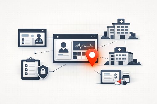
AWS migration with container orchestration, enable unlimited scaling, improve security, cut downtime, and deploy faster with auto-scaling cloud infrastructure.
Read case study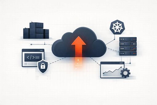
BI platform unifying ERP, CRM & marketing data, replace manual reports with real-time dashboards, cut reporting time 80%, and enable self-service insights.
Read case study
Centralized API gateway platform with security & monitoring, reduce incidents, speed integrations, and boost developer productivity with unified API management.
Read case study
AI diagnostic assistant for healthcare, deliver faster, accurate diagnoses, reduce errors, and provide real-time, specialist-level insights within clinical workflows.
Read case study
AI property discovery platform aggregating 40+ sources, cut research time 90%, boost match accuracy to 85%, and enable multilingual, data-driven real estate decisions.
Read case study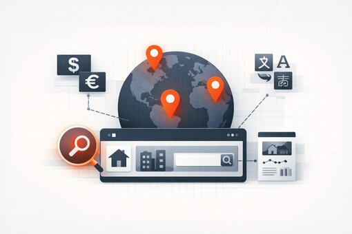
AI lead magnet platform, create personalized content in minutes, boost conversions, cut costs, and launch campaigns faster with automated, data-driven marketing workflows.
Read case study